double_arrow
OpenSafe Fusion
commute
Flooded Roads
local_fire_department
Access to Fire Stations
local_hospital
Access to Hospitals
bloodtype
Access to Dialysis Centers
water
Real-time Flood Simulation
photo_camera
Data from Traffic Cameras
emoji_transportation
Data from TxDOT
groups
Crowdsourcing Data
sensors
Data from Stream Gages
question_answer
Data from Social Media
insights
Insights and Validation
Model Performance Dashboard
|
Padgett Research Group
|
SSPEED Center
Study area
Water Depth
< 0.5 ft
0.5 - 2.0 ft
2.0 - 4.0 ft
> 4.0 ft
Flooded roads
Flooded road
Connectivity loss to fire stations
0.0 (No loss)
→
(No access) 1.0
Fire stations
Connectivity loss to hospitals
0.0 (No loss)
→
(No access) 1.0
Hospitals
Connectivity loss to dialysis centers
0.0 (No loss)
→
(No access) 1.0
Dialysis centers
Texas Department of Transportation Alerts
or
Flooding
or
Closures
or
Construction
or
Damage
or
Others
Traffic Camera Status
No flood
Negligible flood (< 6 in water)
Minor flood (< 2 ft water)
Moderate flood (< 4 ft water)
Major flood (> 4 ft water)
No data
Stream Gage Status
No flood
Action flood stage
Minor flood stage
Moderate flood stage
Major flood stage
No data
Twitter Data
No flood
Negligible flood (< 6 in water)
Minor flood (< 2 ft water)
Moderate flood (< 4 ft water)
Major flood (> 4 ft water)
No data
Crowdsourcing
Flood reports
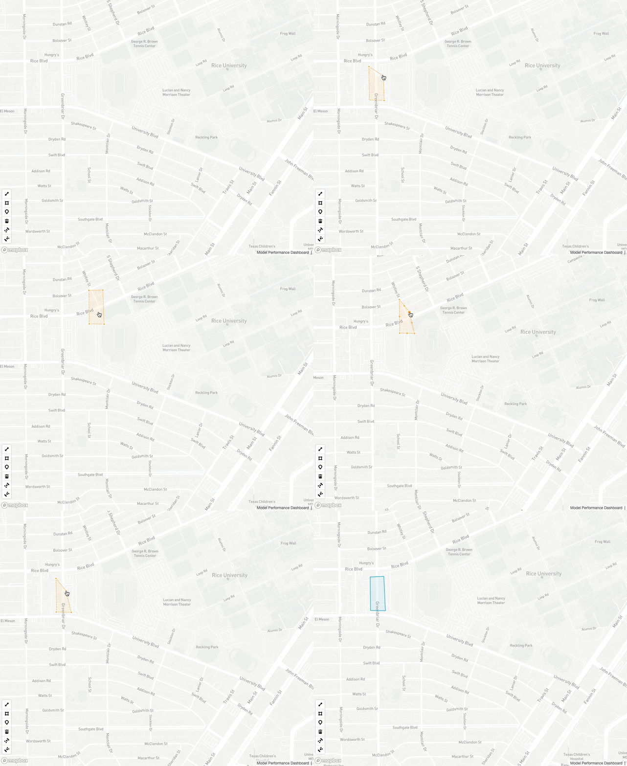
Please mark flooded regions using the draw tools.
Use line, polygon, or point tools to report flooding. You can move or edit your report as shown in the animation above.
The data will be considered by the model in the next update cycle if it passes the fake data detection test.
Dismiss